Bracken and Bilberries is a short series of posts all about walking and appreciating our local uplands, The South Shropshire Hills. Bracken and Bilberries are the main herbage underfoot as we walk these beautiful hills. They have a special atmosphere all of their own that is tangible. You can experience this atmosphere in its silence and smell its delicate scents wafting in the wind that never quite goes away. It is interesting but up in these hills the silence has a particular quality – the secret sounds of grasses moving, the wind pushing at foliage, clouds scurrying and rocks groaning through the centuries gone before. Strangely romantic words but there is no other way of explaining it!!
These hills have their own wildlife, difficult to see and only slightly easier to hear. Creatures here have to adapt to the uniqueness of place – the micro-climate, the acidic upland soils and topography moulded by passing glaciers. The wild creatures here are below our feet or above our heads, not actually sharing the space we walk in.
We decided that as we have so many wonderful walks within minutes up in these hills we should take advantage of them more often.The first trek was up to find a stone circle called Mitchell’s Fold which is a few minutes drive from home. We left home in bright sunshine, under clear blue skies, well wrapped against the cold but just as we approached the starting place the sky darkened, the rains fell and the mists rolled in to hide the hills from sight.


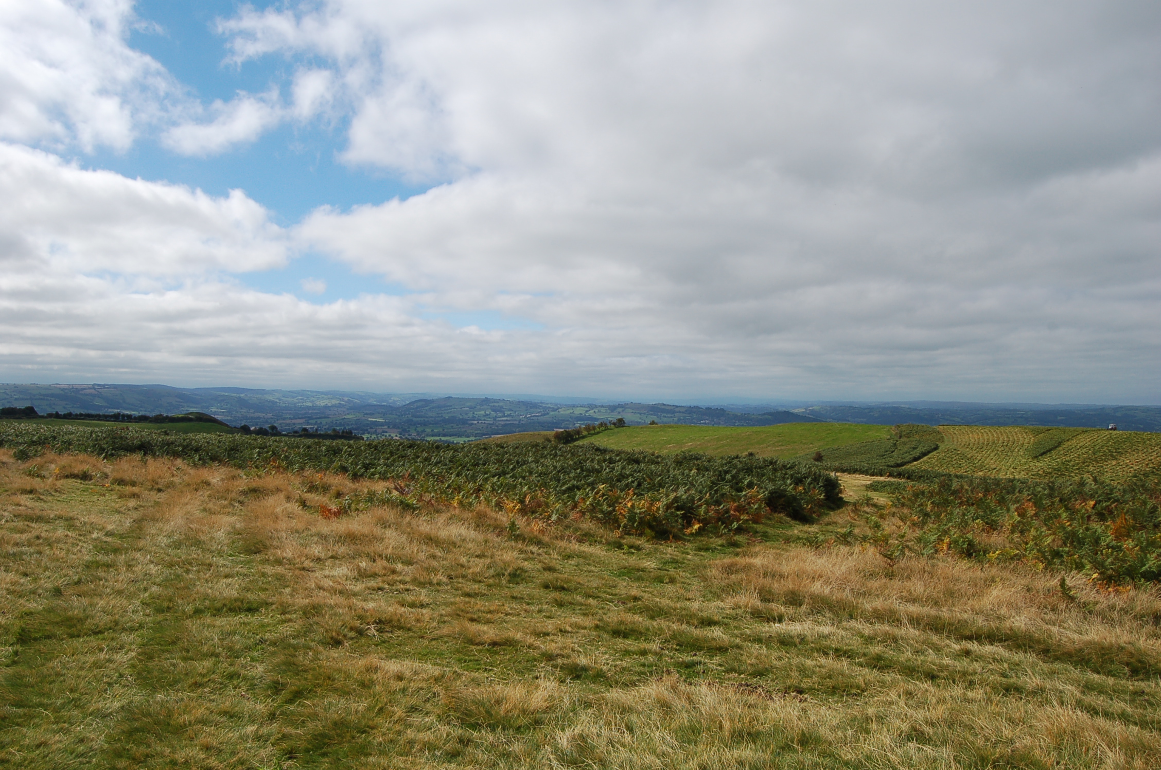
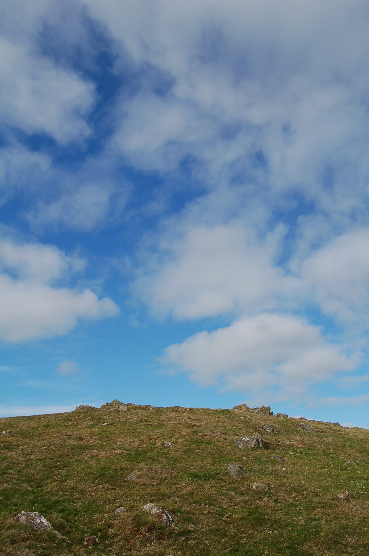
We had a quick coffee in the dry and warm car and then as usual decided to defy the rain and as usual within ten minutes of setting off on our gradual uphill climb the rain stopped, the mists lifted above our heads but continued to cap the taller hills. The sun even came out at times through our wanderings. The light changed with every passing minute and I hope the pictures I took show this well.
From memory there was going to be a long steady climb to the stone circle. In truth it took just ten minutes or so. It shows how our perspectives change for the last time we came exploring up here our children were small so their short legs must have thought it a long climb.

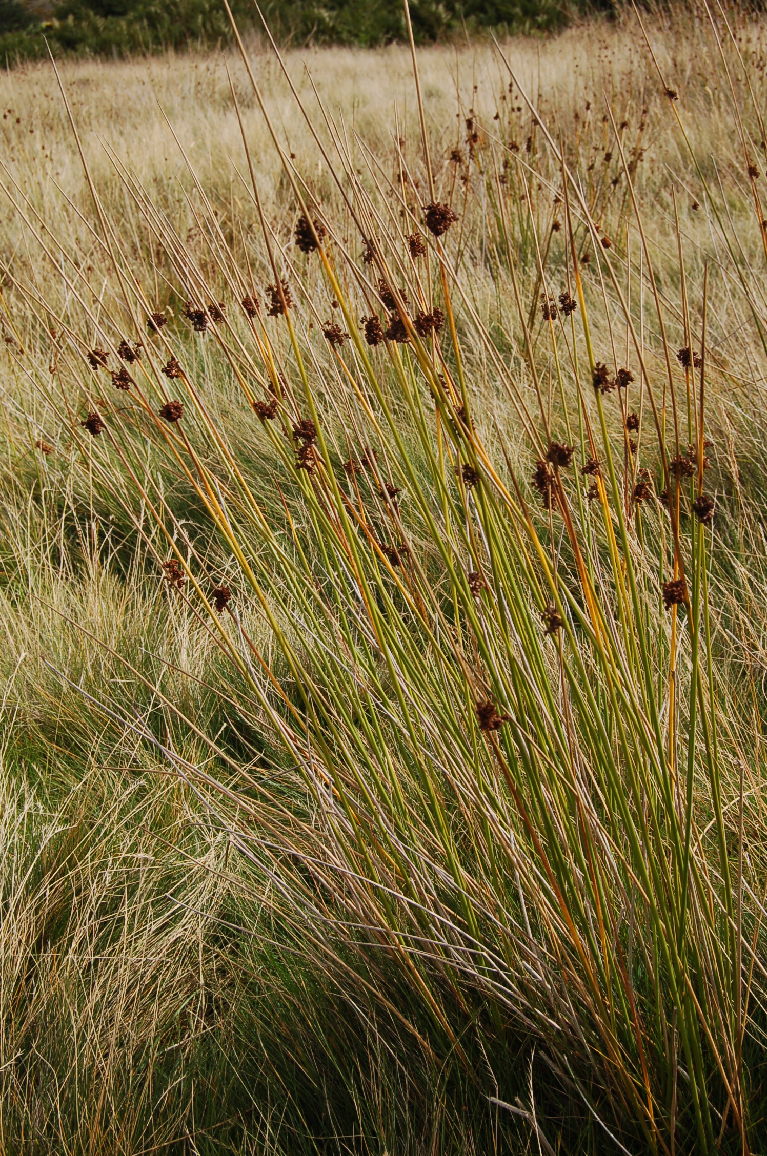
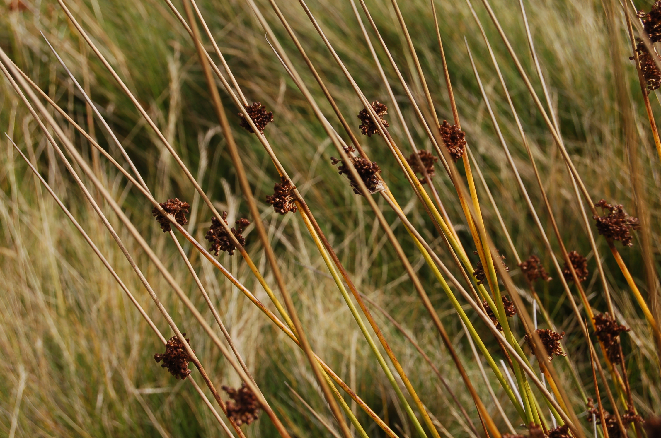
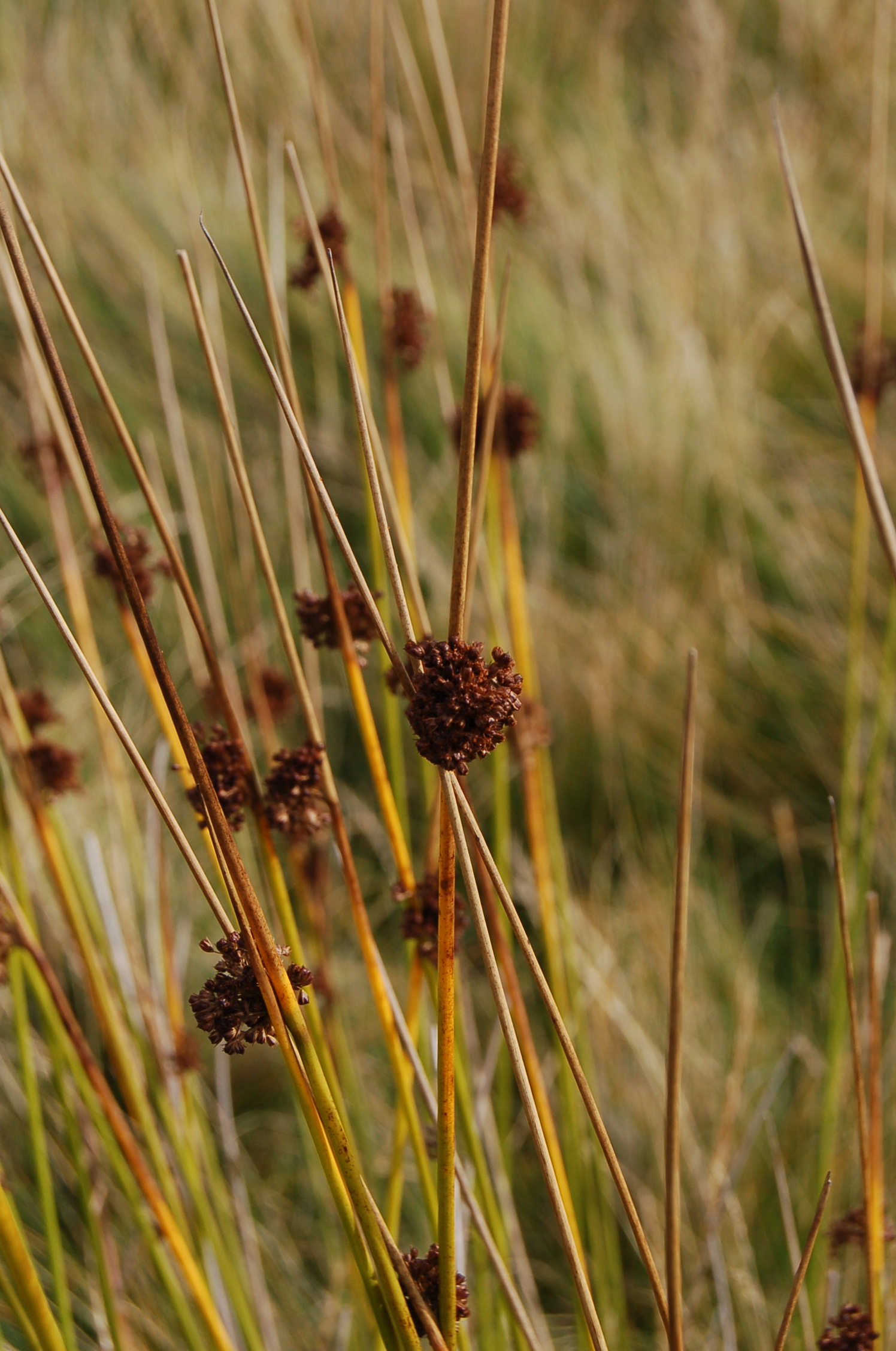
We walked up through bracken browned by autumn on a soft path of green where sheep had mown the grass short with their munching. This gave little chance for few other plants to grow. The air hung with the unpleasant smell of sheep – dung and wet wool – simply too many sheep. In less favourable areas for sheep grazing the much more pleasant aroma of bracken won over, sweet and herby.

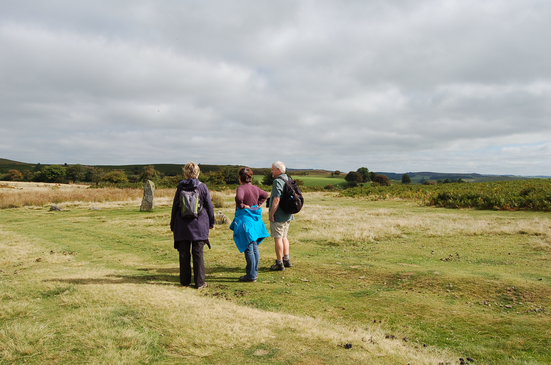
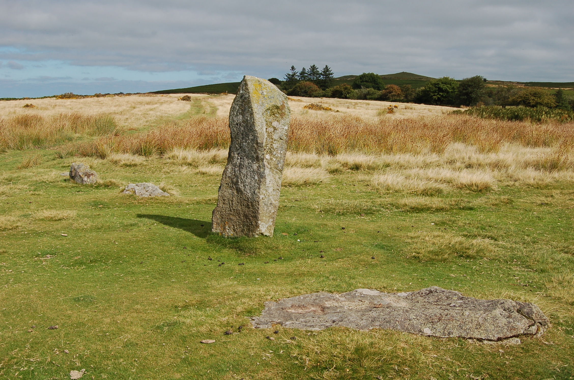
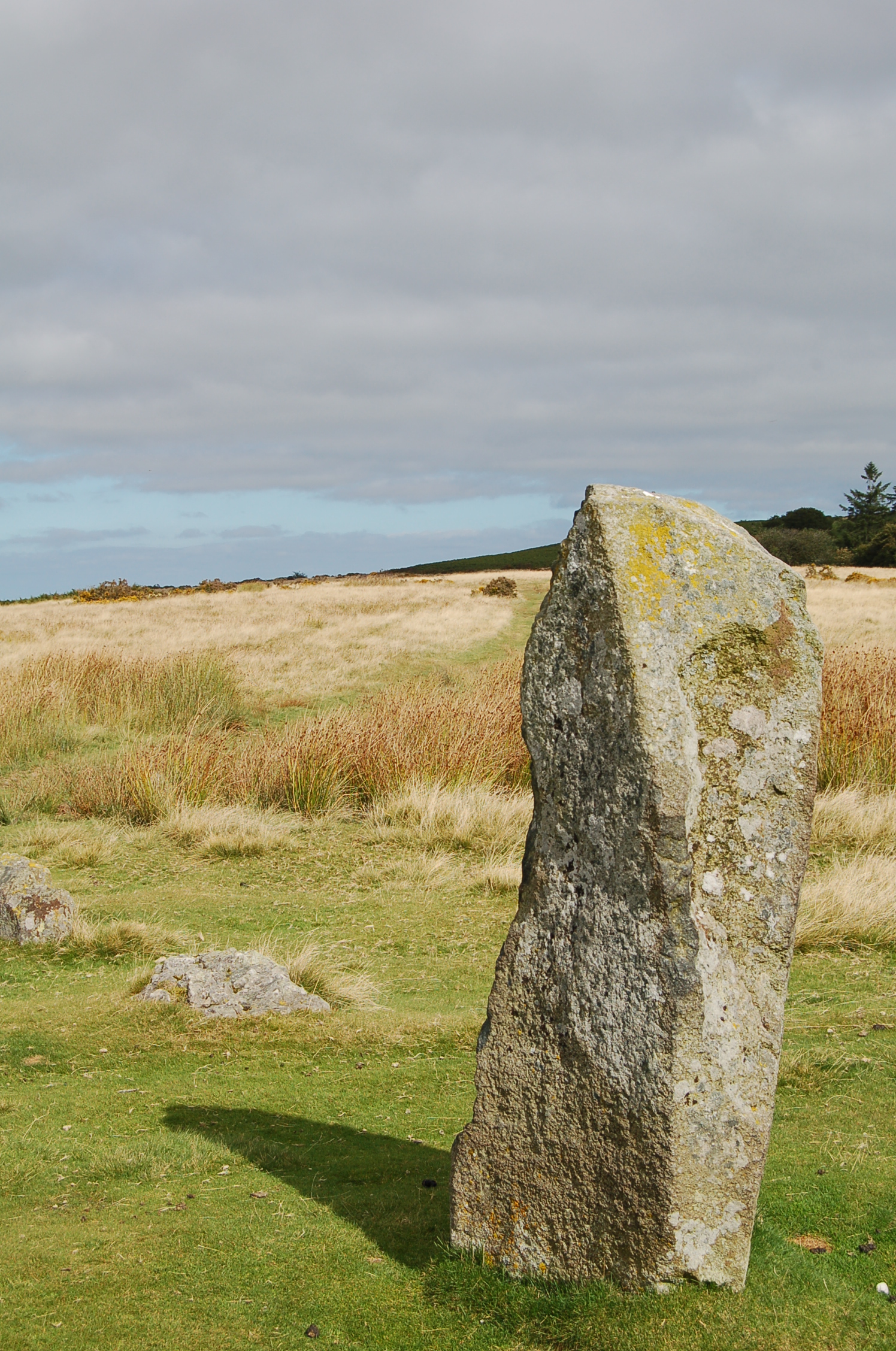
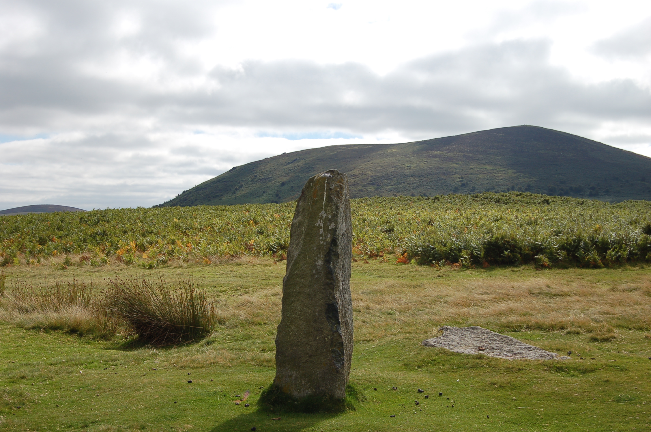
The weather brightened as our first sighting of the standing stones came into view. Sadly what showed most was the information board which presents a dilemna. We want the info but prefer not to see the board! Perhaps it would have been better for it to be fixed out of the view first seen on approach. Walking up to the stone circle we felt honoured to be walking in the foot steps of our ancestors from thousands of years ago.

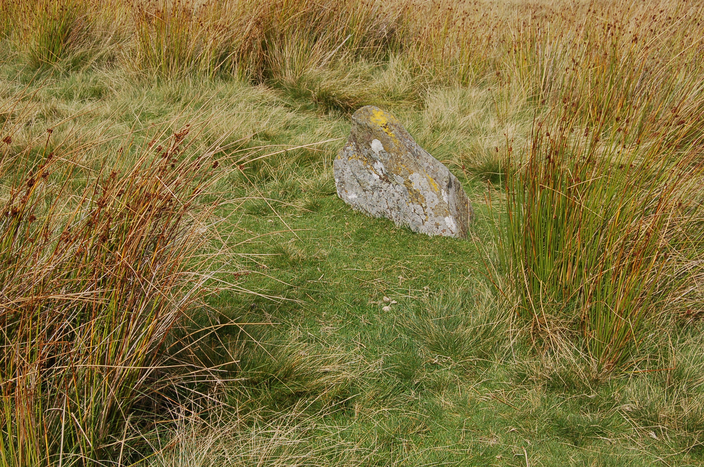
Mitchell’s Fold originally boasted 30 standing stones varying in height from 1 to 2 metres and arranged in a circle of 27 metres in diameter, but today there are 14 stones left with only a few standing. The people of the Bronze Age, between 3000 and 4ooo years ago, constructed the circle it is assumed for ritual or ceremonial purposes. Originally there were three such circles within a few kilometres of each other. Hoarstones is still in evidence but of Whetstones there is no sign.


An alternative version of the story of the circle’s creation is very much a local tale. The tallest stone is a petrified witch who was turned to stone as a punishment by the local Shropshire folk for milking a magic cow through a sieve. Our Shropshire ancestors sensibly built the rest of the circle to prevent her from escaping. This tale is told in carvings in the sandstone of a local church.
If given the choice of the Bronze age peoples creating it and the petrified witch story I would opt for the second as it seems eminently logical and sensible to me. And obviously much more fun.

As with most places of mystery in England and Wales there are said to be links with King Arthur, the largest stone being the one the young Arthur pulled his sword from to make him the rightful king. This tale is not exclusive enough for me so I am sticking to the petrified witch story!

Close up to the stones we could admire Mother Nature’s artistry. She had painted landscapes of woods and fields out of lichens an mosses.


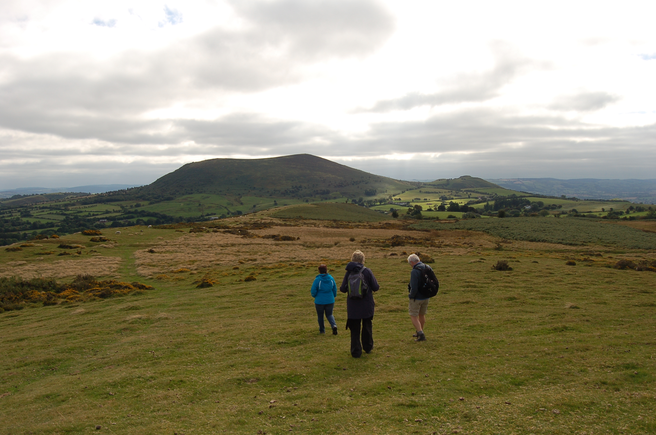
After soaking up the atmosphere of the magical circle of stones we decided to move on along the Stapeley Hill Ridge where we hoped to find further evidence of ancient man’s influence on the landscape. We were not to be disappointed. We found lots of earth works and shapes in the ground from the activities of ancient man. We even managed to pretty confidently work out what some were, surmised as to what others might have been and scratched our heads at others that totally baffled us. So we left the stone circle and followed the Ragleth Hill Path.

The first signs of man were more recent. The remnants of old hedgelines from the time after the Enclosure Act, just a few small trees along with broken bits of wall finished off with strands of modern barbed wire.

Before we encountered any ancient works of man to be confused by, we met a more recent addition to the Shropshire landscape which was designed to make the lives of walkers easier. This sign post definitely failed to make anything clear. Too many choices!! And the photo only shows the choices on two sides!

The first sign of man’s hand at work beyond the sign post was this long raised rampart. We thought it could be a trackway or perhaps the outer ring of a hill fort.

We were still climbing slowly and the air was moist. Water droplets sat on the webs spun by spiders on the Gorse bushes.


The views gradually became clearer and we could see further into the distance. As we walked these gentle slopes we were entertained by the Red Grouse calling in the bracken, but we failed to actually see one.


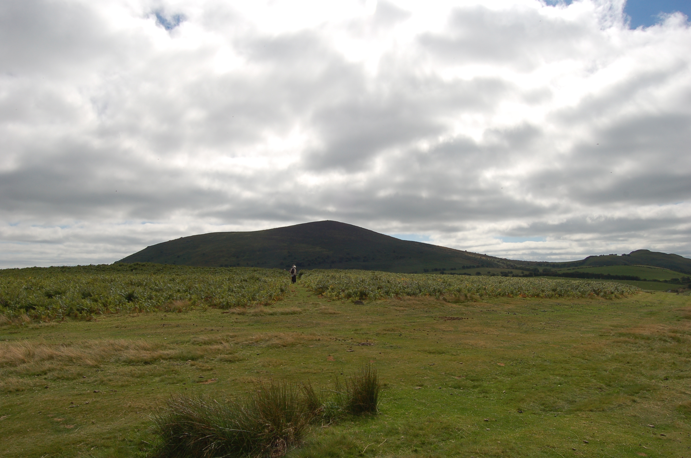
We skirted around the bottom of a ridge upon which we could see two piles of rock . We were determined to see what they were so we turned away from the track and followed a narrow sheep walkway up towards the top of the ridge. When half way up the climb we stopped to catch our breath and take in the views.
The clump of trees atop Callow Hill on the horizon is an old friend, as we see them ahead of us as we drive towards home from Shrewsbury.


The ridge of stones and raised ground, although difficult to see on the picture, appeared on the ground to be a part of the ditch and way into an earthwork.

The area of stones here at the base of the hillock that took us to the first stone pile were around a circular depression in the ground so we presumed they were the site of a hut circle.

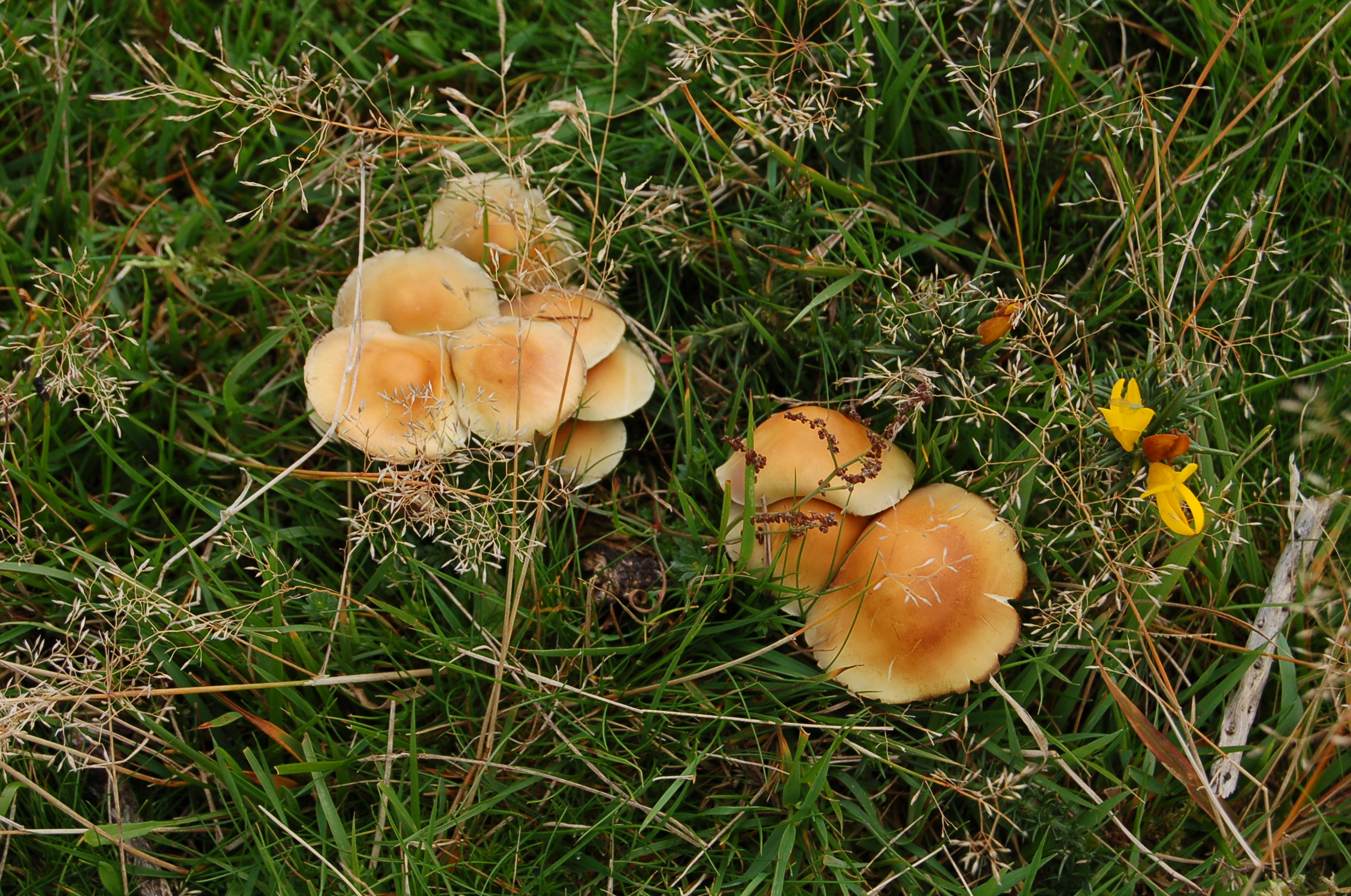
As we reached the top of the ridge we realised the pile of stones was a cairn. We noticed just below the summit that the raised area was encircled by several clumps of different varieties of fungi. There were many different colours and shapes but none got much above the height of the shee-grazed grasses.


The most beautiful of all was this tiny bright red fungus. In the second shot Jude trieses to show us the underneath without damaging it. The grey woolly gloved finger shows how tiny this specimen actually was. Underneath we noticed that the inside of the gills was bright yellow with the outer edges painted in red.


When we reached the summit we had to follow the hill walkers’ tradition of adding a stone to the top of the cairn. The damp clear air up there provided the perfect atmosphere for lichen growth as this close up of the rock surfaces highlights.

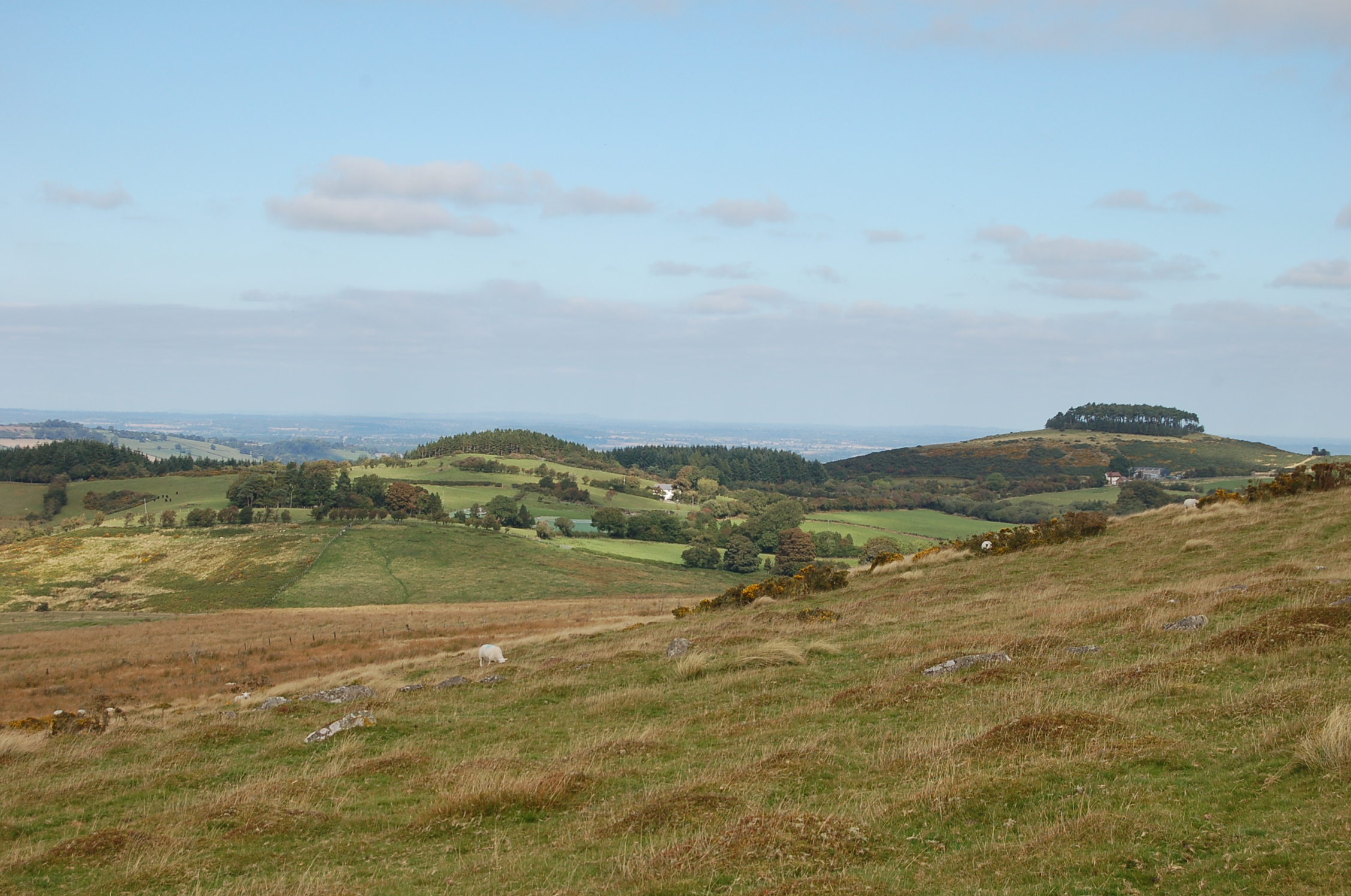
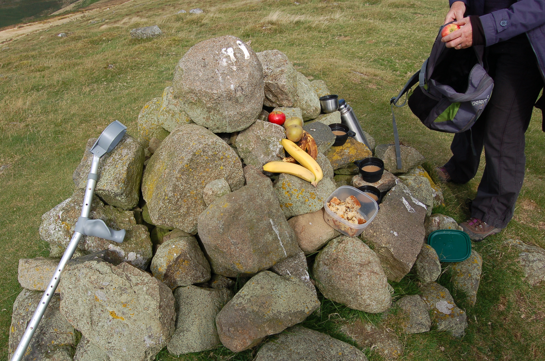
This photo shows the landscape beyond the ridge which we planned to follow next to a second stone cairn. We promised ourselves a banana and a coffee when we reached it to give us energy and to warm us up. It was a good incentive.


We stood drinking our coffee and letting it warm us through as we drank in the view, looking out over the huge panorama. In the middle distance we could see the hill in the lee of which we live. We quietly stood hand in hand both having the same thoughts which we shared “How can we be lucky enough to live in such a beautiful place.”


Partway back along the ridge we enjoyed distant views of The Stiperstones, a high rugged ridge famous for its rock formations along its long ridge back. That distant view gave us an idea for our next walk in the Shropshire Hills.


We came across a big earth work partway back where a long ditch and raised bank crossed our path. We realised after exploring it for a while that it may have been a part of Offa’s Dyke, the massive wall built to keep the Welsh marauders from crossing into England (we had been following the Offa’s Dyke Trail for part of our walk). We crossed without resistance!

I hope you enjoyed sharing this wander through the Shropshire Hills with us. The weather was a bit dramatic and ever-threathening, the ground beneath our feet wet and slippery but we defied the rain and wind and cold and enjoyed the gentle climb and the views that unfolded for us.
Stiperstones next stop!